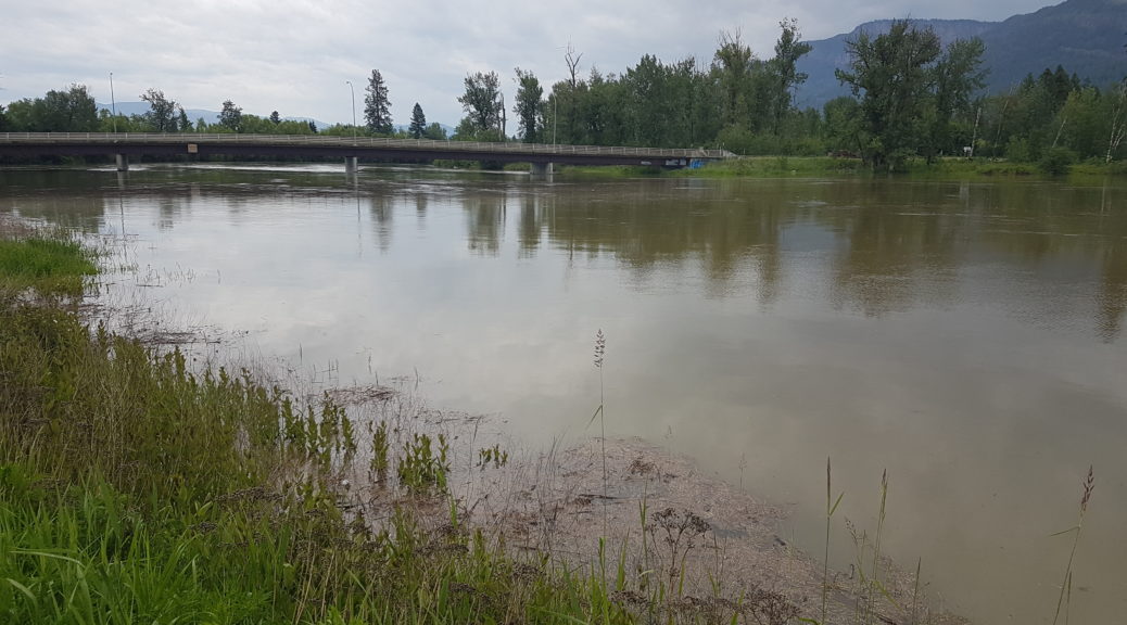
The City of Enderby Emergency Operations Centre is monitoring and responding to localized flood conditions and encourages residents who may live in flood-prone areas to take measures to protect their property.
The City of Enderby Emergency Operations Centre is monitoring and responding to localized flood conditions and encourages residents who may live in flood-prone areas to take measures to protect their property.
The City of Enderby Emergency Operations Centre is monitoring and responding to localized flood conditions and encourages residents who may live in flood-prone areas to take measures to protect their property.
The City of Enderby Emergency Operations Centre is monitoring and responding to localized flood conditions and encourages residents who may live in flood-prone areas to take measures to protect their property.
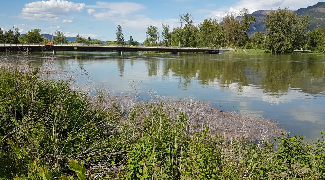
The Emergency Operations Centre continues to monitor and respond to localized flood conditions and encourages residents who may live in flood-prone areas to take measures to protect their property.
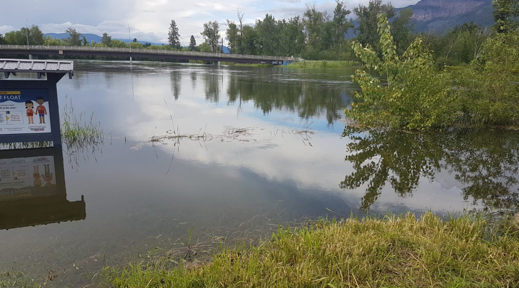
The City of Enderby has activated its Emergency Operations Centre (EOC) to Level 1 for the purposes of preparation, response, and public communications related to localized flooding.
The City of Enderby is monitoring for flood conditions and encourages residents who may live in flood-prone areas to take advance measures to protect their property. There are no closures or orders at this time.
The City of Enderby’s Emergency Operations Centre remains activated at Level 1 for wildfire advance planning and quick mobilization of emergency plan procedures and resources.
The City of Enderby is closely monitoring the White Rock Lake wildfire west and southwest of the City. Our sympathy goes out to those who have been affected by wildfires throughout the Province.