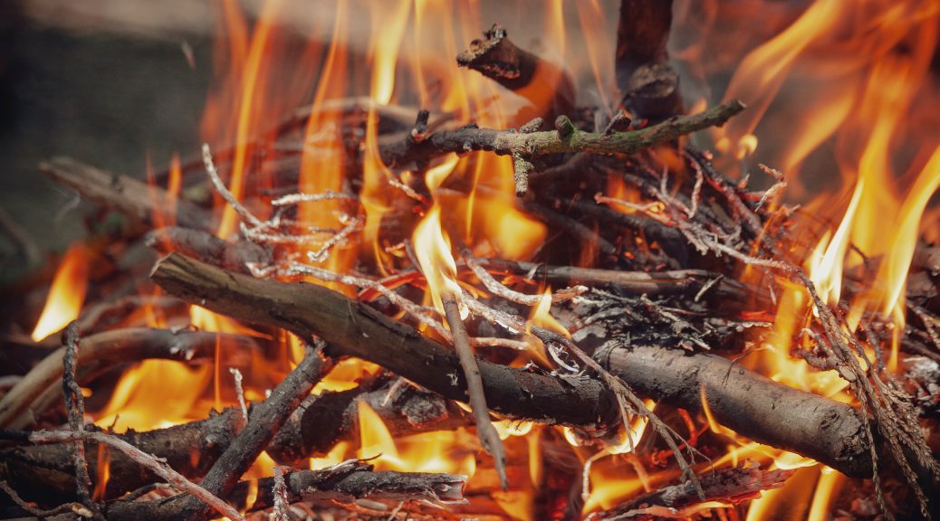
The Kamloops Fire Centre has determined that a ban on Category 2 open burning will be effective July 29, 2020. Category 2 open burning involves fires less than 2 metres in height and less than 3 square metres in width. … Read the rest “Enderby Fire Ban Amended on July 29, 2020”
Category Archives: Protective Services
Situation Report for July 20 2020 at 13:30
Due to continued reductions in Shuswap River levels, the City of Enderby is ending its Emergency Operations Centre activation for flooding.
All previously closed roads and facilities are now open. The Tuey Park gates will be open as of July … Read the rest “Situation Report for July 20 2020 at 13:30”
Situation Report for July 6, 2020 at 18:00
Shuswap River levels are declining but remain unseasonably high due to unsettled weather in conjunction with elevated levels in the South Thompson, to which the Shuswap is a tributary. However, the outlook is positive, with the river flow rate predicted … Read the rest “Situation Report for July 6, 2020 at 18:00”
Situation Report for June 26, 2020 at 16:15
While localized flooding continues to occur, Shuswap River levels have stabilized and are predicted to remain close to current levels for the next 10 days. There will be some changes as precipitation in the forecast makes its way through the … Read the rest “Situation Report for June 26, 2020 at 16:15”
Enderby Fire Ban Amended on June 19, 2020
Given weather patterns and time of year, the Kamloops Fire Centre has determined that restrictions on Category 2 open burning will be lifted as of noon on June 19, 2020. Category 2 open burning involves fires less than 2 metres … Read the rest “Enderby Fire Ban Amended on June 19, 2020”
Open Burning and Campfire Regulations
We live in a community where people live closely together and air quality can vary. Regulations on open burning, campfires, and outdoor cooking are in place to:
- Respect neighbours,
- Reduce particulate matter in the air (or limit emissions to when
Situation Report for June 15, 2020 at 14:45
Heavy rains over the weekend led to a significant increase in Shuswap River levels.
As a result, Riverdale Drive is again closed except for local traffic. Please do not go past the barricades unless you live in the area. If … Read the rest “Situation Report for June 15, 2020 at 14:45”
Situation Report for June 11, 2020 at 17:45
Shuswap River levels have receded at a rate faster than forecast.
On June 5, flow rates were 459 cubic metres per second and levels were 4.920 metres. Today, June 11, flow rates are 336 cubic metres per second and levels … Read the rest “Situation Report for June 11, 2020 at 17:45”
Situation Report for June 5, 2020 at 15:45
While the flood-related restrictions and closures remain in place, decreases in river levels are aligned with previous forecasts.
The Shuswap River appears to have peaked on June 3 at 485 cubic metres per second and a level of 5.049 metres. … Read the rest “Situation Report for June 5, 2020 at 15:45”
Situation Report for June 2 2020 at 15:45
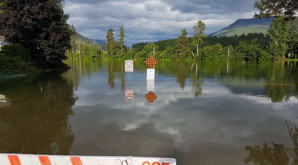
Please be advised that the low-lying portion of Riverdale Drive is now submerged and closed except for local traffic. Traffic should not drive past the barriers except for residents who live in the affected area and need to use this … Read the rest “Situation Report for June 2 2020 at 15:45”


